

Les Moles Route
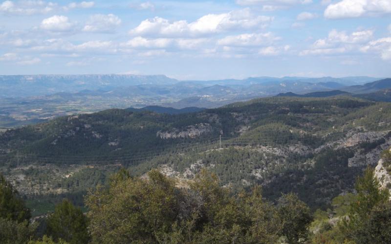
Circular route of approximately 7.4 km with a cumulative ascent of 265 m. Around 69% of the route follows forest tracks, with 225 m along the C-44 road, and there are no water points. Part of the route coincides with the GR-7 trail (red and white markings) and the PR-C 82 trail (white and yellow markings).
The hike starts on Passeig de la Foig, opposite the Tourist Office. Leave the village in the direction of Vandellòs and head towards the C-44 road. Cross the road and take the first turning on the left, where a sign indicates Les Moles. Follow the track until crossing the Barranc de les Moles, then take the first track on the right, following the GR-7 waymarks.
At the highest point of the trail, continue along the track until reaching a fork, where the right-hand track should be taken (there is a small hut beside the track). Continue without taking any further turn-offs until reaching Coll de la Pleta, where a sign marks the path to the right towards Natocs and Tivissa. This section follows a trail with some short stone-paved stretches.
At the end of the trail, take the left-hand turn and continue along a track with some paved sections until reaching the road. Continue on the track running parallel to the road, descending towards a terrace of olive trees. Cross the olive grove and follow a path that leads back to the road and finally to the entrance of the village.
Share


 Print
Other routes
-
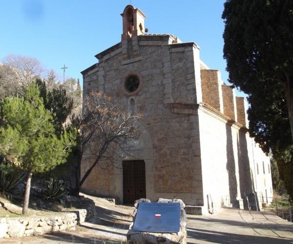
The Llena Climb and Sant Blai Hermitage (Birthplace of the GR Trails)
-

A stroll along the Dip Canals
-

Dels Didalts viewpoint
Distance: 2.63 km · Positive elevation gain: 330 m
-
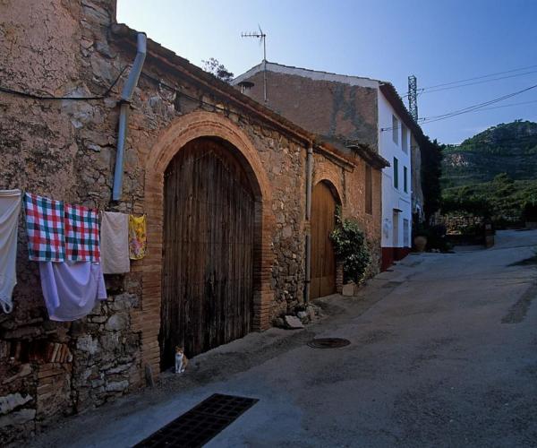
From Vandellós to Hospitalet de l'Infant
Distance: 11.36 km · Positive elevation gain: 100 m
-
Tomb in Vandellòs
Distance: 3.22 km · Positive elevation gain: 75 m
-
Portella Route
Distance: 18.28 km · Positive elevation gain: 560 m