

Padrells, Pixavaques and Molí del Rei
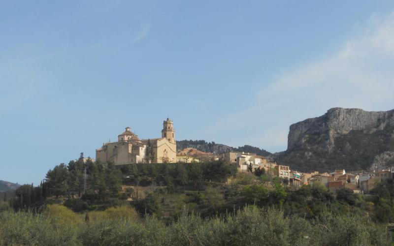
Circular route of approximately 6 km with a cumulative ascent of 185 m. Around 96.5% of the route follows tracks and there are no water points. Part of the route coincides with the Ginestar path.
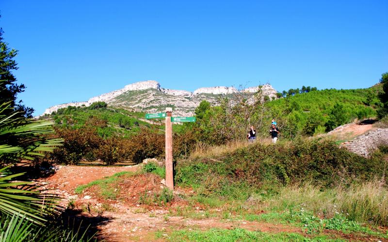
The hike starts in Carrer de Padrells, from where the paved road towards Padrells and Coll de Maula should be followed. Take the turning on the right and pass beside a fire prevention reservoir before reaching the bottom of the ravine. Continue along the track to the area known as Pixavaques. The route then reaches the bottom of the Molí del Rei ravine, where the right-hand track should be taken. This track includes several concrete sections. Halfway up the climb, hidden on the right, stands one of the old flour mills of the area, featuring a large storage pond where the remains of the former water drop can still be clearly seen.
Continue along the track until reaching a fork, where the right-hand branch descends towards the orchards of La Roja. Follow the path through cultivated plots and the remains of former flour mills. Once at the highest point of the trail, continue along the path to the right until another fork is reached. Take the track on the right, passing once again through the orchards of La Roja before returning to the village.
Share


 Print
Other routes
-
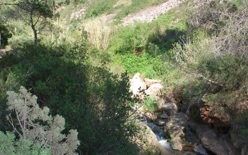
Puig del Marquès Route
Difficulty: Medium · Distance: 9.5 km
-
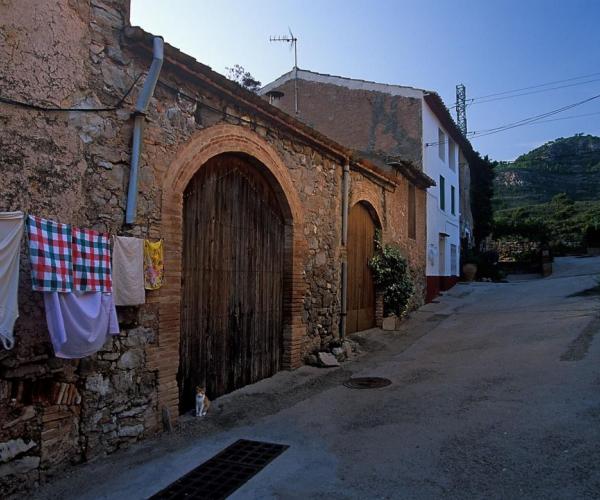
From Vandellós to Hospitalet de l'Infant
Distance: 11.36 km · Positive elevation gain: 100 m
-

Dels Didalts viewpoint
Distance: 2.63 km · Positive elevation gain: 330 m
-
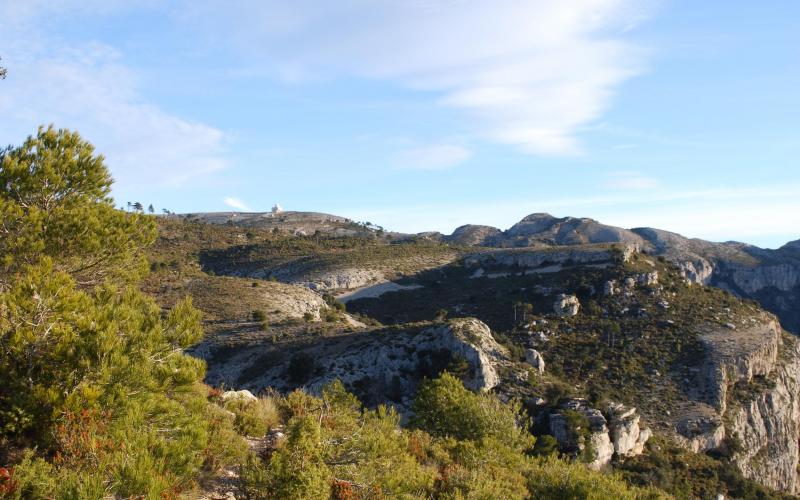
Mont-redon Route
Difficulty: Medium · Distance: 10 km
-
Remullà Route
Distance: 6.1 km · Positive elevation gain: 140 m
-
Santa Marina Turn
Difficulty: Low · Distance: 8 km